By Laura Read
EnviroStrat is combining geospatial analysis, Earth Observation (EO) and impact ventures to accelerate restoration of New Zealand’s coastal ecosystems.
Since joining EnviroStrat in 2023, I’ve been building our GIS and Earth Observation capability to better understand and support our impact ventures aimed at regenerating our natural environments.
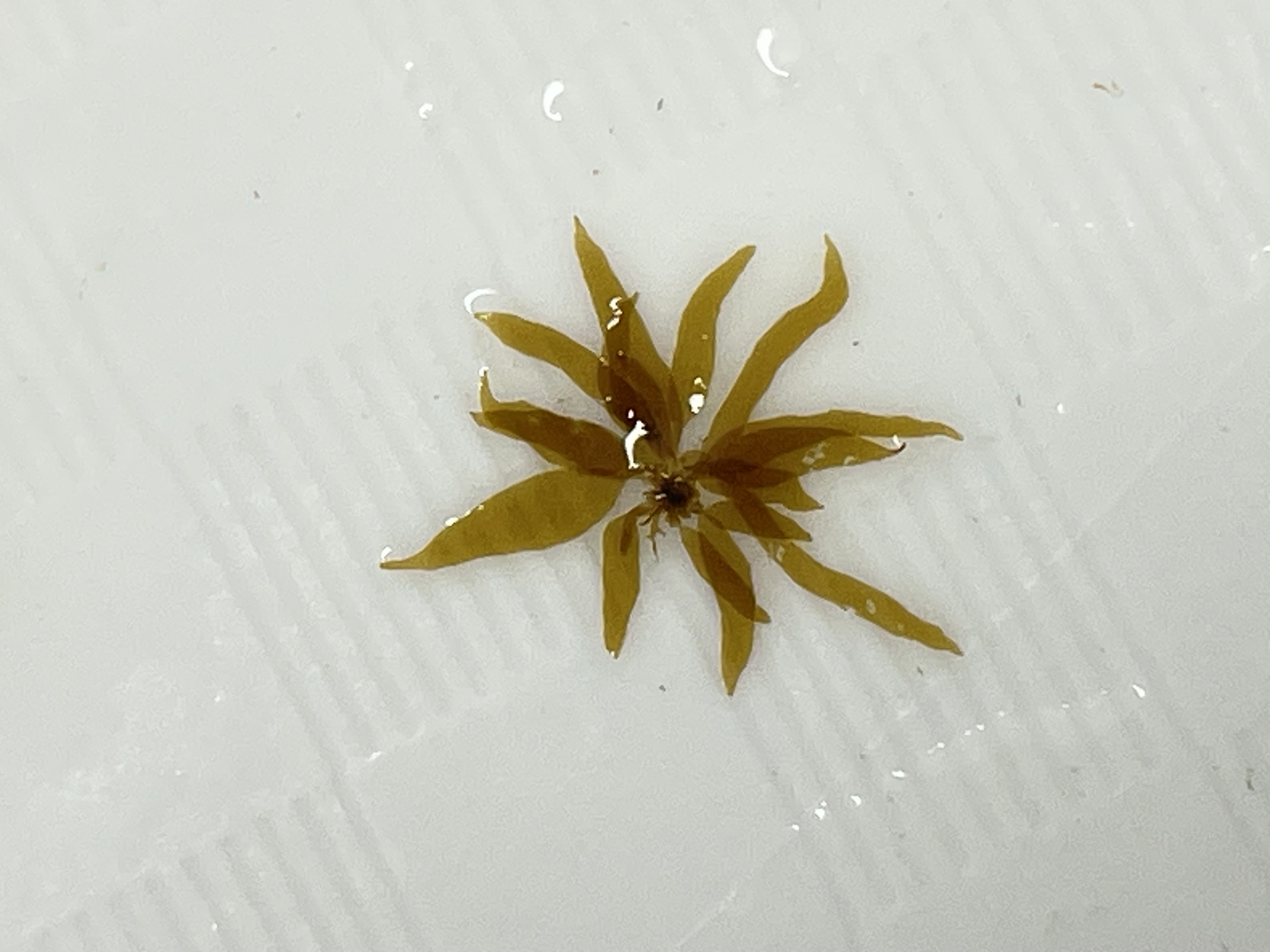
The ORA Reefs project has initially been focused on clearing kina barrens, a symptom of the overfishing of their key predators and global warming. This phenomenon is not just seen in Aotearoa but globally. Once healthy, thriving kelp forests are reduced to barren areas by sea urchin over-grazing.
The kina aren’t happy either, they exist in a zombie-like state, preventing kelp forest regrowth. The good news is that research within Tīkapa Moana/Te Moananui-ā-Toi (the Hauraki Gulf) shows that large-scale sea urchin removal results in kelp forest recovery in as little as two years1.
But reports are starting to show patches of barrens are starting to reform at around the three-year mark (Hasshaw and Shears, personal communication), emphasising the importance of Measurement, Reporting, and Verification (MRV).
To ensure the long-term success of ORA Reefs’ restoration efforts, we’re developing robust MRV frameworks that can monitor for patch barrens reforming and also underpin blue nature credits, an emerging market mechanism to finance ocean regeneration.
However, MRV in the marine environment is challenging. Traditional monitoring requires skilled scientific divers, vessels, and substantial budgets.
That’s where Earth Observation come in.
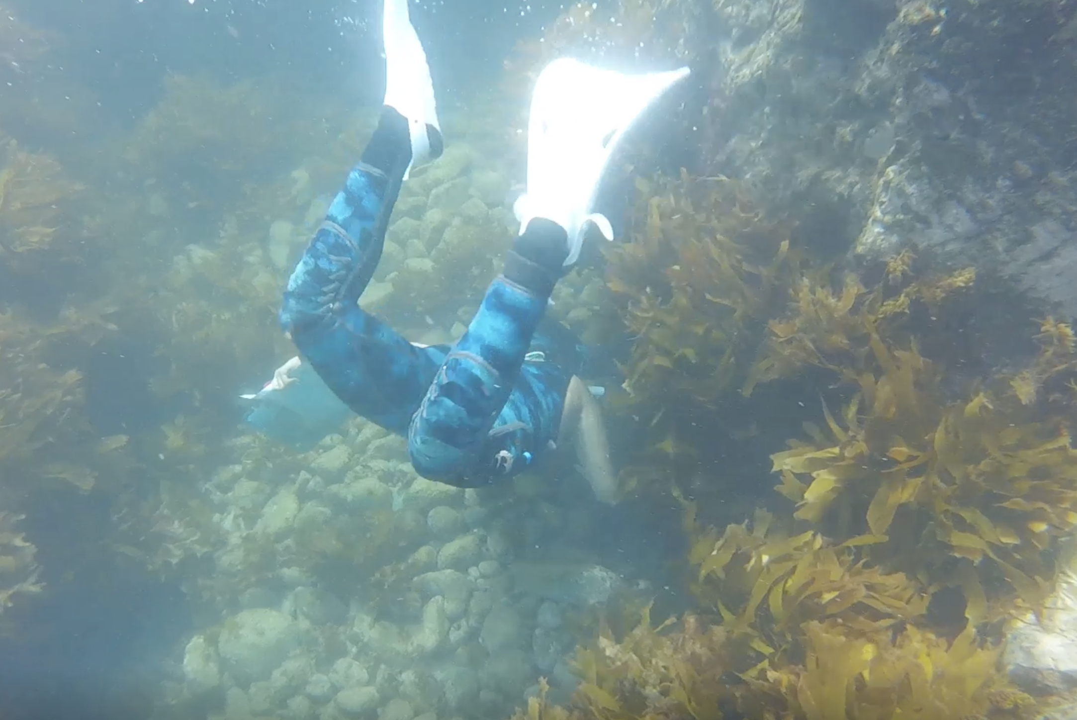
Our pilot site at Moturekareka Island, within the Hauraki Gulf Marine Park, has been a testing ground for a new method that combines multispectral aerial drone imagery, machine learning, and snorkel-based ground truthing.
The key challenge with marine mapping is simple but fundamental: there’s water in the way. Water depth affects how light reflects off different habitats, complicating the ability to distinguish between kelp, sand, and rock.
To overcome this, we applied adapted Depth Invariant Indices (DII) across multiple band combinations in our imagery. This process effectively reduces the influence of depth, allowing clearer separation of habitat spectral signatures i.e., distinguishing kelp from sand or rock.
We then fed all original and DII-corrected bands into a machine learning model, which classified the pilot site to highly acceptable accuracy scores.
Like all research, there are questions and limitations to address with future work, but this pilot model demonstrates the potential of EO to complement marine monitoring.
Collecting high-quality imagery still presents logistical hurdles, as this requires vessel hire and good weather conditions. In the future, we hope to integrate high-resolution multispectral (and hyperspectral) satellite imagery to reduce field time and costs.
Another prospect lies in developing spectral signature libraries for marine species. Research suggests these signatures remain relatively consistent worldwide2, meaning global datasets could eventually reduce the need for extensive field validation.
Our long-term vision is to empower more precise, data-driven restoration at scale.
This work wouldn’t be possible without the incredible collaboration of our partners, funders, and researchers.
A huge thank you to everyone who has supported and contributed so far. In particular, Tom Dowling, whose Remote Sensing expertise has advised this work.
1. Miller, K. I. et al. Large-scale one-off sea urchin removal promotes rapid kelp recovery in urchin barrens. Restor. Ecol. 32, e14060 (2024).
2. Kutser, T., Hedley, J., Giardino, C., Roelfsema, C. & Brando, V. E. Remote sensing of shallow waters – A 50 year retrospective and future directions. Remote Sens. Environ. 240, 111619 (2020).
.jpg)